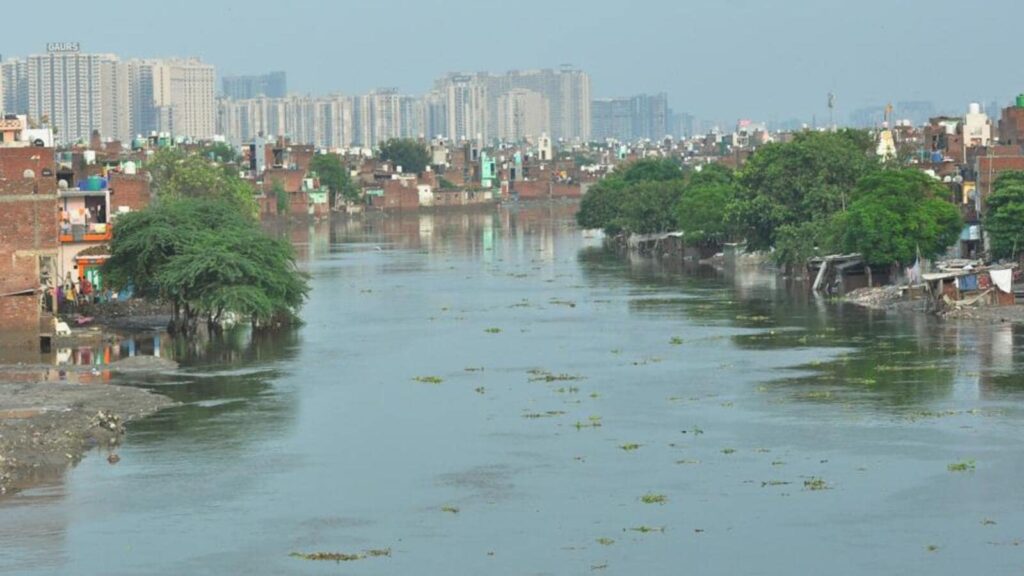
NGT seeks progress report on charting Hindon floodplain zones in GB Nagar, Ghaziabad

The National Green Tribunal (NGT) has directed the state of Uttar Pradesh to file a progress report in connection with a petition seeking the demarcation of the floodplain zones of rivers Hindon and Yamuna in Ghaziabad and Gautam Budh Nagar districts.

While hearing the case on October 24 (order was uploaded on November 6), the tribunal also allowed Survey of India to be impleaded as a respondent. The petition was filed in 2023 by Ghaziabad resident Alok Kumar, seeking the demarcation of floodplain zone of rivers Yamuna and Hindon in Ghaziabad and Gautam Budh Nagar.
The petition contended that the floodplains are not marked out and have no defined physical boundaries at present, which made encroachments rampant.
The tribunal said it is considering the demarcation of the floodplain zone of river Yamuna in Ghaziabad and Gautam Budh Nagar, wherein a report was filed by officials concerned, disclosing that the floodplain demarcation exercise of the Yamuna is complete, except for a 3km stretch upstream of Okhla barrage.
“Hence, the tribunal is confining this OA (original application) to demarcation of floodplain zone of river Hindon in the districts concerned,” the tribunal said.
The demarcation of floodplain zone is vital to prevent unauthorised constructions which are rampant in the river areas of both Ghaziabad and Gautam Budh Nagar districts.
“The NCR (National Capital Region) districts which have floodplains of river Hindon are severely affected by encroachment in the form of residential settlements. These not only prove risky for residents but also affects the river’s recharge system besides narrowing its floodplain zones,” said Ghaziabad-based environmentalist and lawyer Vikrant Sharma.
In this connection, the officials of the UP irrigation department in October also filed a compliance report which disclosed that the map with relevant contour is yet to be received from the Survey of India and also sought time till July 2025 to complete the exercise.
The compliance report also described the plan/process for the demarcation exercise and said they expect the Survey of India to provide the digital elevation model contour map by February 2025.
Thereafter, the irrigation department would need 15 days for marking of highest flood level, 45 days for fixing of coordinates of the floodplain zone and about 90 more days for fixing pillars on both sides of the demarcated floodplain zone of river Hindon.
“We have sought time till July 2025 in our compliance report. We expect that the process will be expedited once the Survey of India provides us with the relevant maps. We are fully complying with the directions of the tribunal,” said Rajkumar Vern, executive engineer, UP irrigation department,construction division, Ghaziabad.
The counsel representing the state government also informed the tribunal that the total length of river Hindon is 371km, including the 56km stretch in Ghaziabad and the 45km stretch in Gautam Budh Nagar. They said that map with relevant contours will be supplied by the Survey of India by February 2025 and, thereafter, the exercise for demarcation of floodplain zone in these districts will be completed within four months.
The tribunal in its order directed the state of UP “to file a progress report by way of an affidavit of the competent authority at least one week before the next date of hearing. The oral prayer made by counsel for the applicant for impleading Survey of India is allowed,” the tribunal added.


